What It Took to Build a Town Here
Photographing Truckee, Donner Pass, and the Sierra on Black-and-White Film
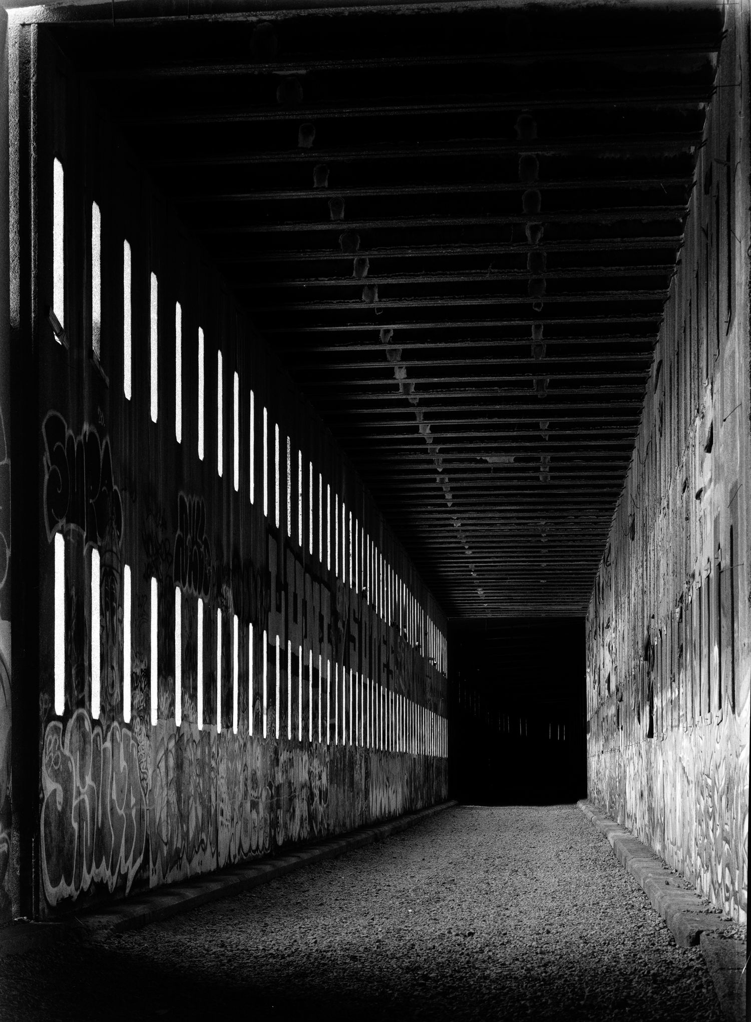
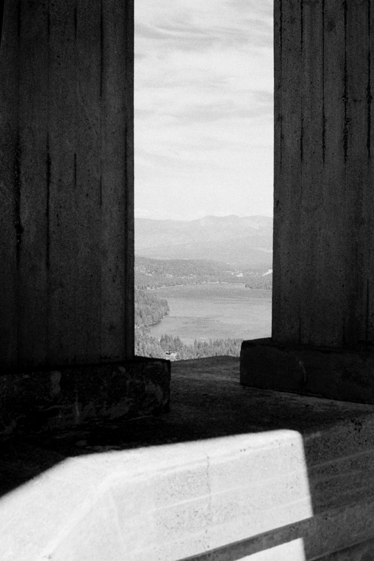
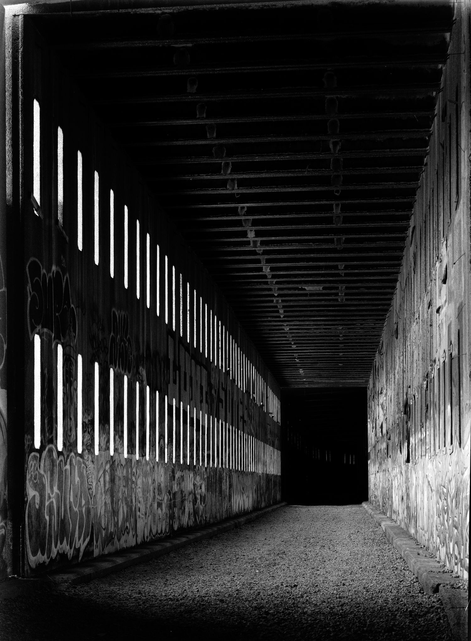
Where I stood in the old railroad tunnel was virtually silent. My footsteps shifted gravel underfoot. Every so often, the shutter on my 4×5 camera broke the silence. Light entered through a series of openings along one side of the tunnel, cutting bright shapes into an otherwise dark interior. The repeating bands of light eventually gave way to a dark stretch I could not see beyond.
It was a challenge to photograph this scene. It contained far more contrast than I expected to get from a sheet of film: bright openings, intermittently illuminated walls and ceiling, and shadows I did not want to collapse into featureless black. So, I slowed down, worked through the exposure, metered carefully, and tried to preserve both the rhythm of the light and the darkness at the far end.
By the time I was standing in the tunnel, I knew a little bit about its significance in the landscape. More than 150 years earlier, Chinese laborers had worked through this granite as part of the Central Pacific Railroad’s route across the Sierra Nevada. The work was slow, dangerous, and accomplished with gunpowder and, later, experimental explosives. Nearby, workers assembled an enormous stone retaining wall by hand to support the railroad grade. What is now a quiet place to walk—and, unfortunately, one increasingly covered in graffiti—was once part of one of the most consequential transportation projects in American history. A few days earlier, though, I hadn’t been thinking about any of that. I had just been looking for something to photograph while my boys were at camp.
Five Days to Wander
We came to Truckee in August because our boys were spending the week at Woodward Boreal. Monday through Friday, I dropped them off at 8:30 in the morning and picked them up at 4:30 in the afternoon. That left me with something I do not usually have on a family trip: large blocks of time with nowhere in particular I needed to be.
We rented a house in the woods just north of Truckee, and after drop-off each morning I started exploring. I brought a Nikon FM-2 and a Chamonix 4×5, along with a 6×17 panoramic back. Nearly every image I intended on making would be on black-and-white film.
That choice was deliberate. Photography around Tahoe and the Sierra is so often driven by color: blue water, green forests, golden light, dramatic skies. I wanted to see what happened when I took that away. Without color doing so much of the work, I would have to pay more attention to structure, texture, shape, terrain, and the relationships among the subjects in the landscape.
Could I have shot it on my Sony digital camera and then converted to black-and-white? Absolutely. Why film then? Film imposed an important constraint. It forced me to be more thoughtful and selective. I did not have the luxury of returning home with 4,000 frames and figuring out later what the story had been. Each sheet of 4×5 film required commitment. Even the 35mm film encouraged more restraint than I am accustomed to with a digital camera. I had to decide whether something deserved a photograph. That turned out to matter because I did not begin the week with a story in mind. I found one by wandering around and truly looking for compositions worthy of the film, and there were many.
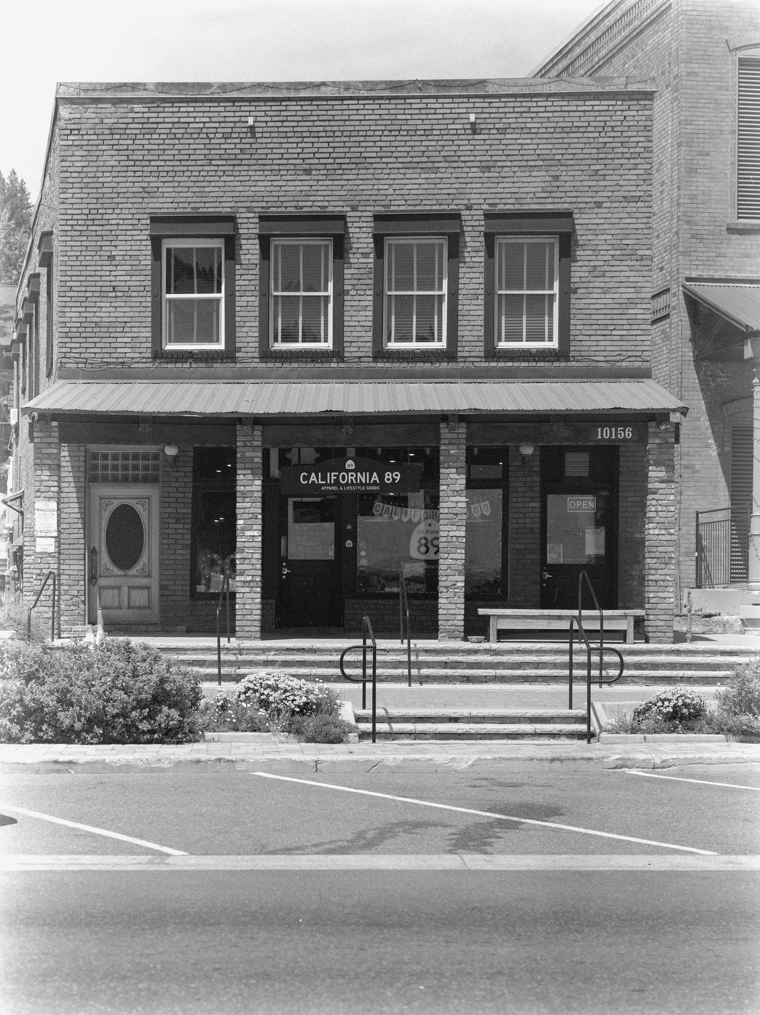
Downtown Truckee
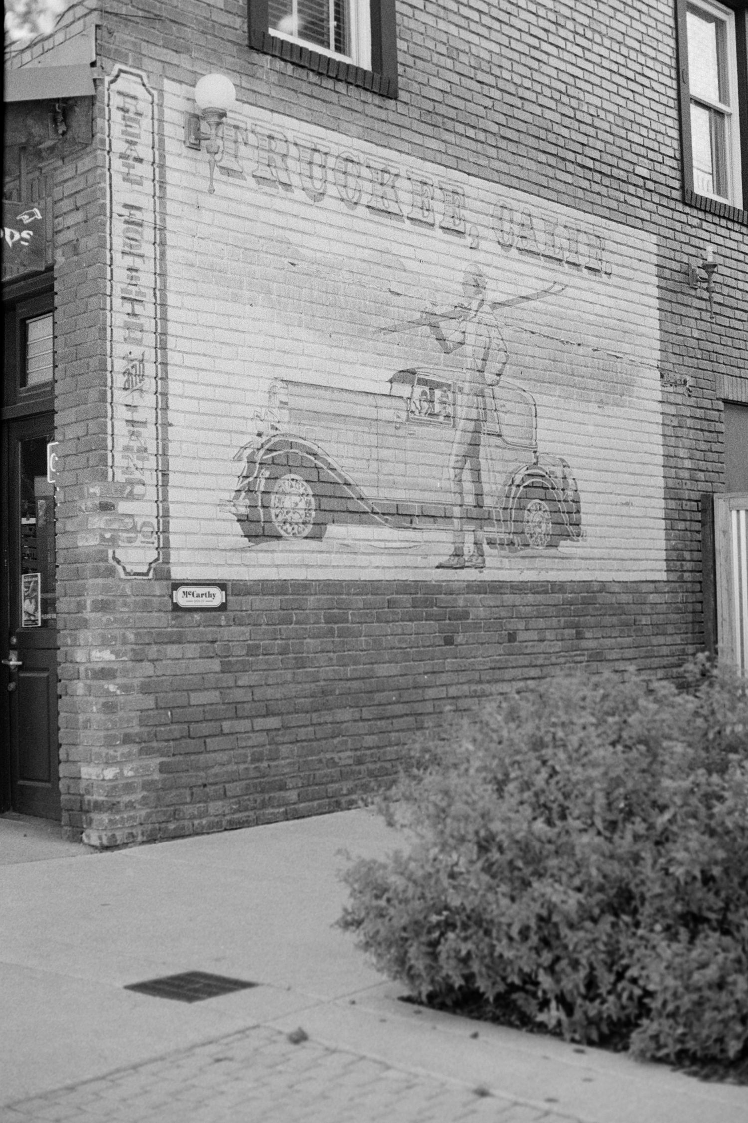
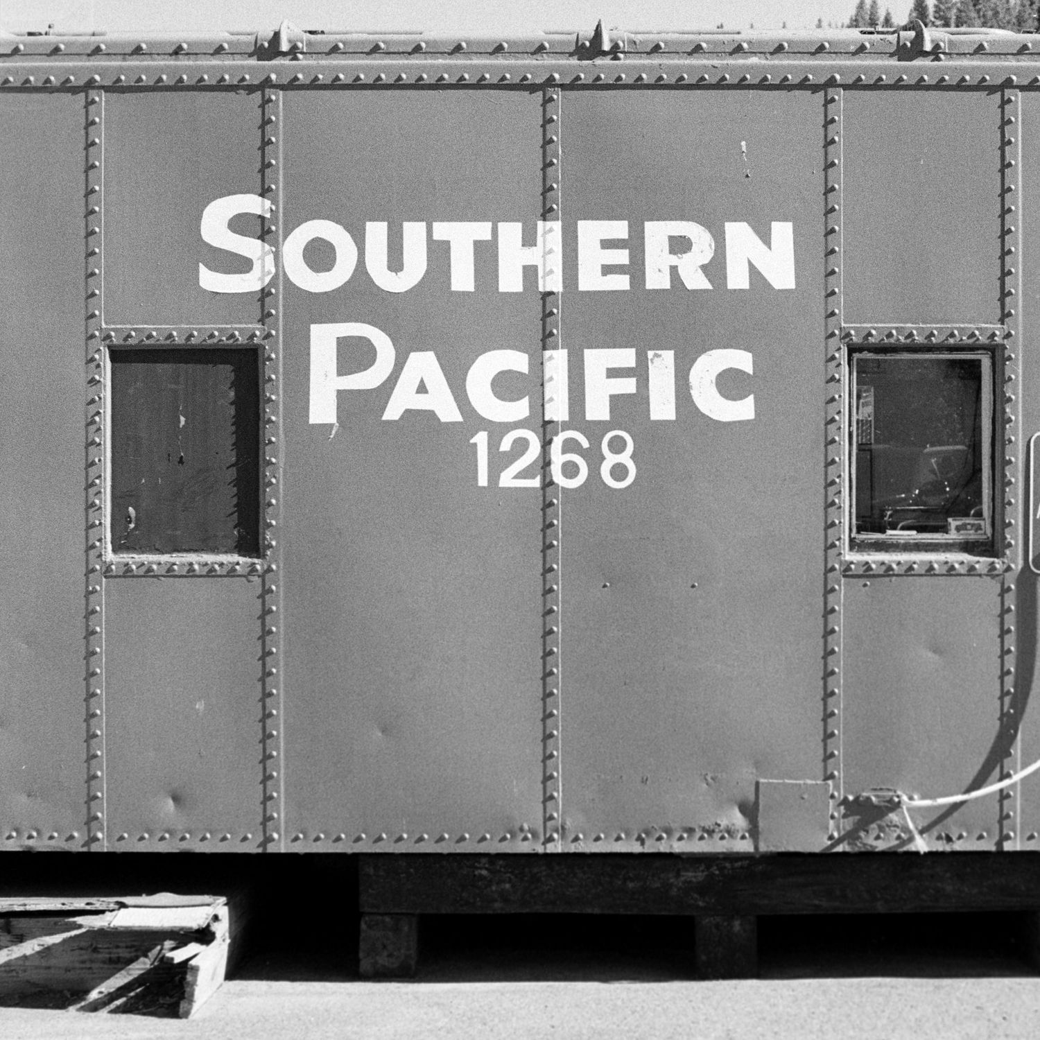
Downtown Truckee follows a simple arrangement. A two-lane road runs through its commercial center. Shops, restaurants, cafés and old buildings line one side. The railroad occupies the other. The tracks and their prominence in the landscape are difficult to ignore.
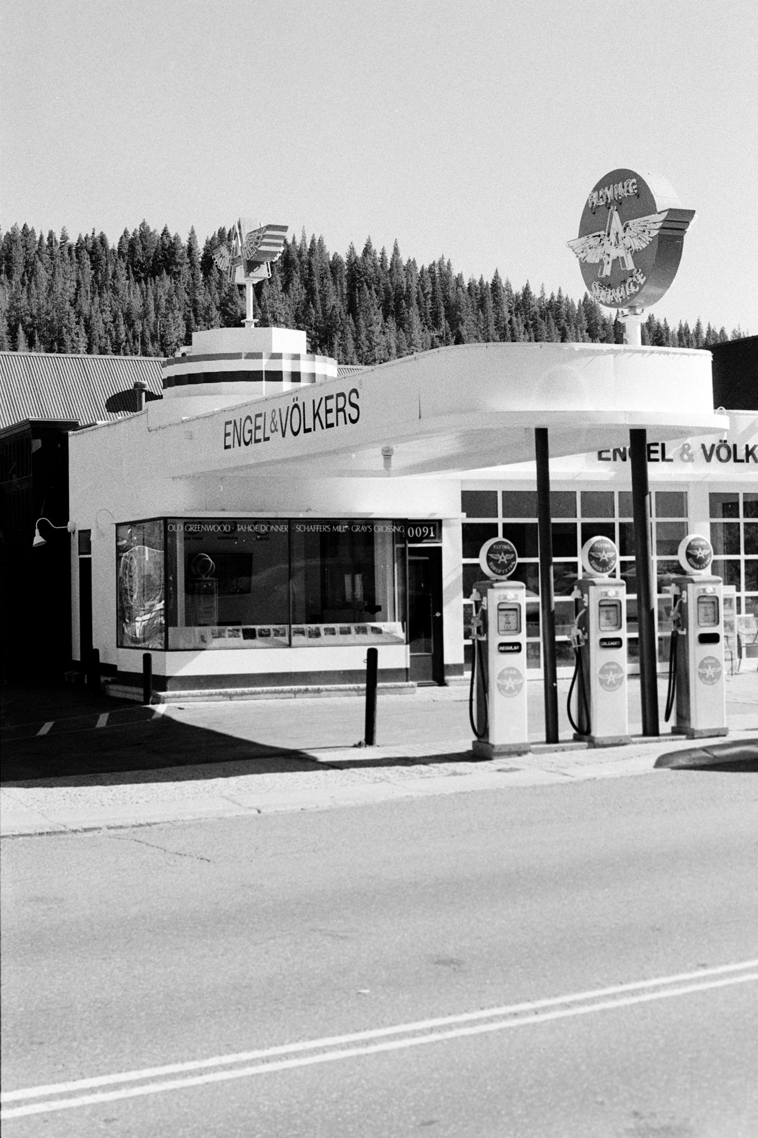
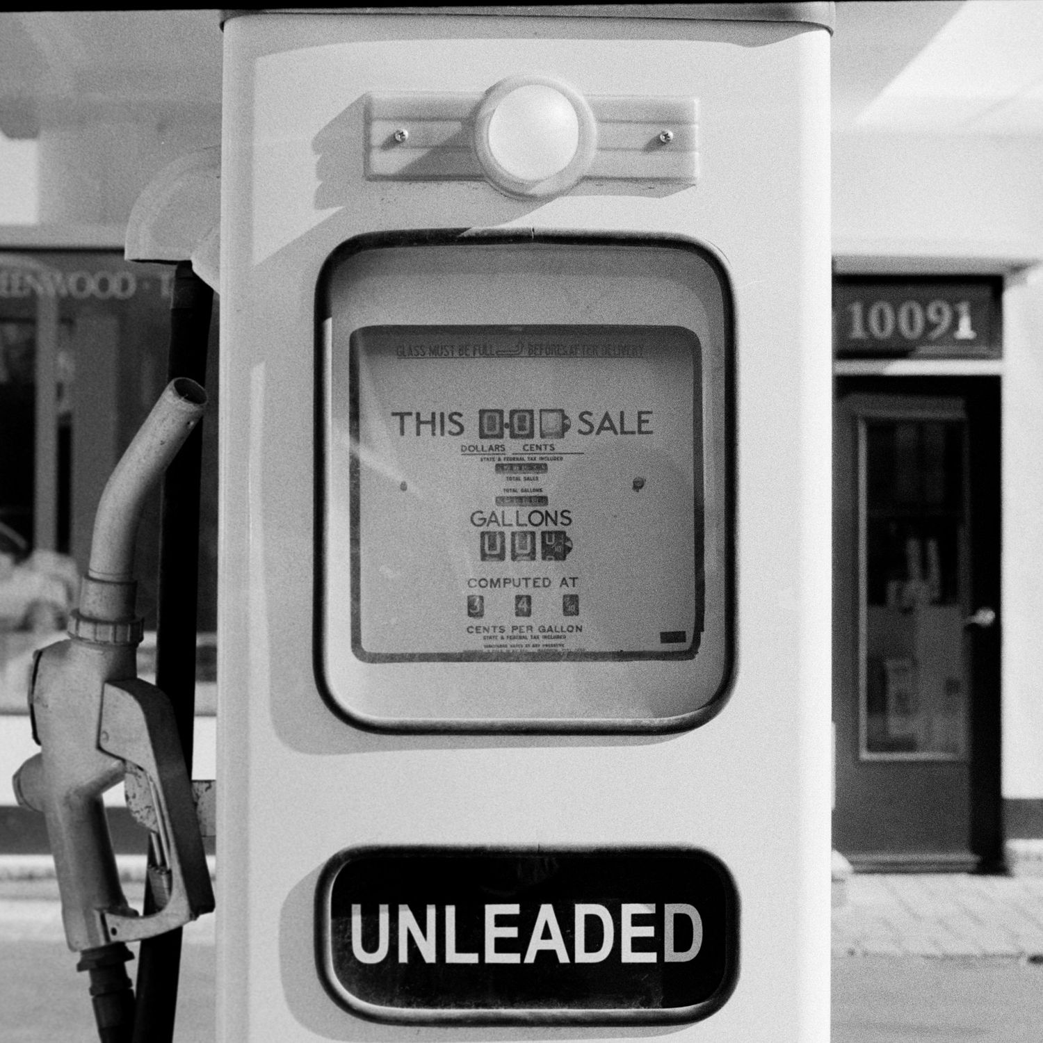
I found plenty to photograph along Commercial Row: old brick façades, the station, an old jail, and a former Flying A gas station whose vintage pumps and signage looked as if someone had decided not to let the old automobile age disappear completely. In the case of the gas station, somebody essentially had. The station was standing by at least 1936, and then it was rehabilitated for retail use in the late 2000s. Its owners deliberately restored it with a mid-century gas-station appearance, including the pumps.
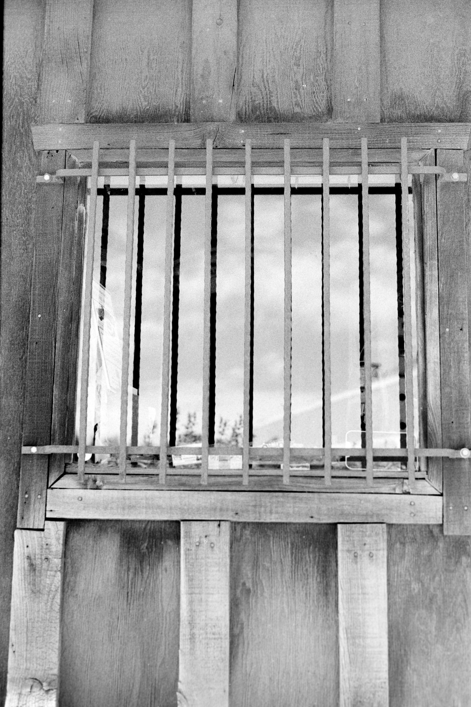
A block away, the Old Truckee Jail carries an earlier version of the town’s history. Built in 1875, its lower level has native-stone walls roughly 32 inches thick, heavy steel doors, and a ceiling reinforced with steel and sections of railroad track. It remained in use until 1964. The Truckee-Donner Historical Society reports that inmates over the years included "Baby Face" Nelson and Ma Spinelli. The more colorful claim that "Machine Gun" Kelly once spent a night there after shoplifting is presented by the Historical Society itself as something "old timers say," which seems like an appropriate level of certainty for the story.
The lasting remnants of this history makes more sense once you understand how rapidly Truckee grew. Before the railroad, wagon and stage routes were already carrying people and freight across the mountains toward Nevada. But construction of the Central Pacific Railroad transformed the settlement. Coburn’s Station became an advance camp for railroad crews, and in 1868 the community adopted the name, Truckee. By the time the first train came through, a substantial town had already taken shape around the tracks.
The industries changed over time—railroad operations, lumber, ice harvesting and freight all played important roles—but the town remained tied to the mountains around it. Today that relationship looks very different. The local tourism economy is worth roughly $244 million, built around lodging, downtown businesses, ski areas, recreation providers, outdoor retailers and the larger network of people who come here to spend time in the mountains.
You can feel both versions of Truckee downtown. There is still something gritty in the railroad running beside the main street and in the old buildings that survived fires, hard winters and changing industries. But there are also good coffee shops, polished storefronts, outdoor businesses and contemporary restaurants serving people who have come to ski, climb, ride, fish, paddle or simply escape the city for a few days. It feels like an old western railroad town that has learned how to live as a modern California mountain town without entirely erasing what came before.
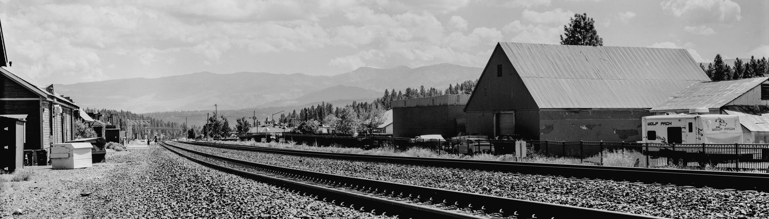
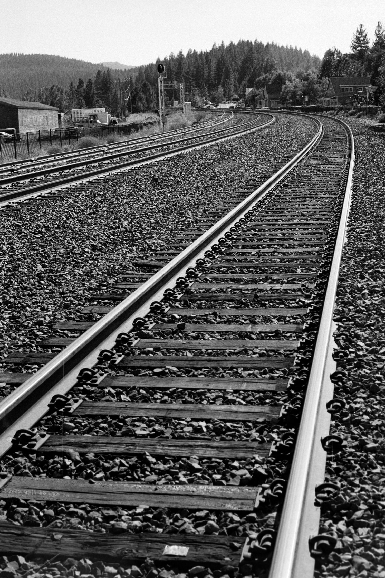
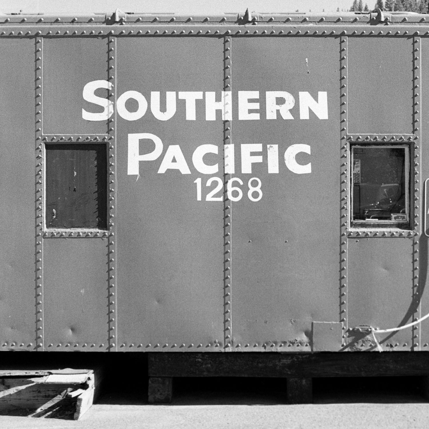
Waiting for the Train
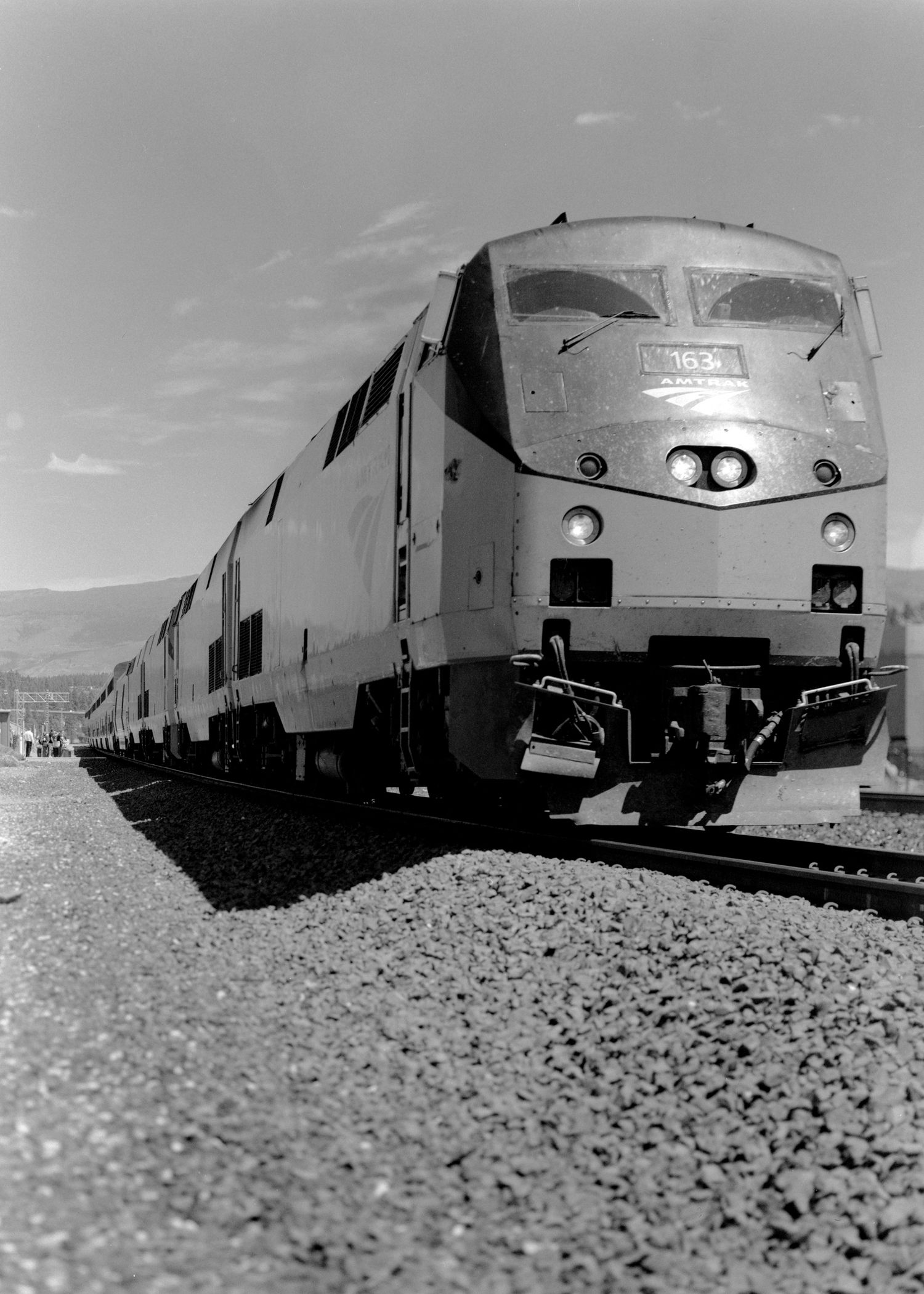
At some point, I realized I had a problem with the railroad photographs I was making. Everything looked historical and lifeless. The tracks, old buildings and industrial details were telling the story that railroads mattered to Truckee, but not that they still do. So, I checked the train schedule and waited. Eventually, an Amtrak locomotive rolled into the station.
Photographing this detail mattered to me precisely because it was not luck. In fact, while the train does run on a schedule, it rarely hits the station on time as I found out waiting for it to enter the station. By that point I knew the visual story was missing something, and I went looking for the frame that would fix it—showing the tracks still have life running on them. It also pushed me toward the next question. If the railroad was this important to Truckee, even today, what did it take to get the railroad here in the first place? To answer that, I started following it toward Donner Pass.
Up Toward the Summit
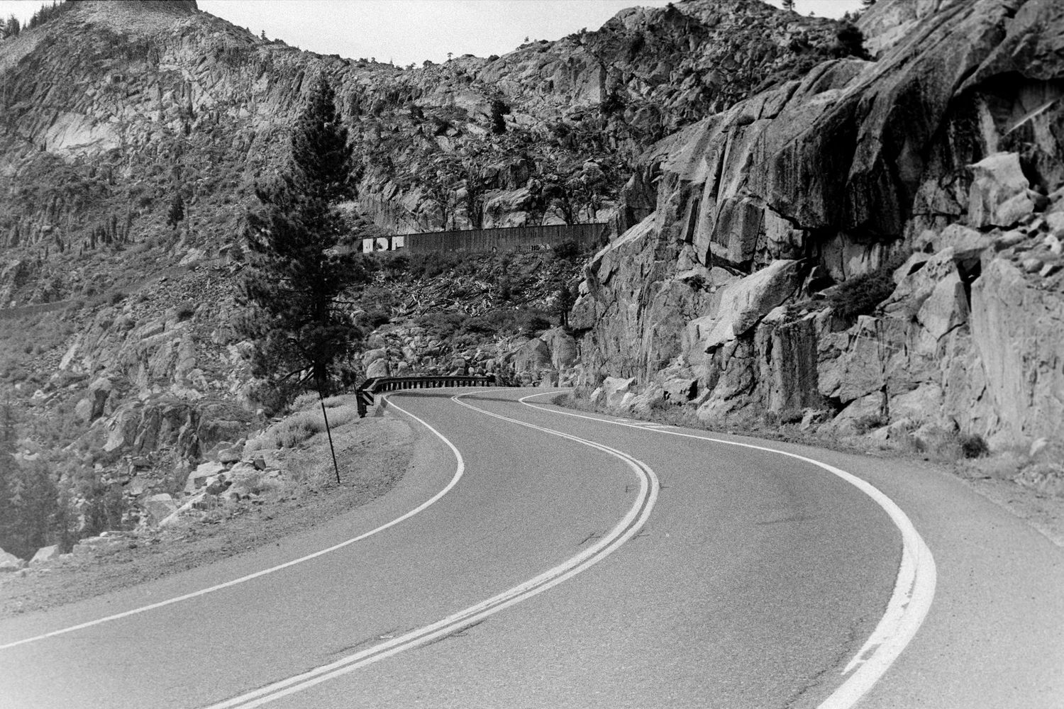
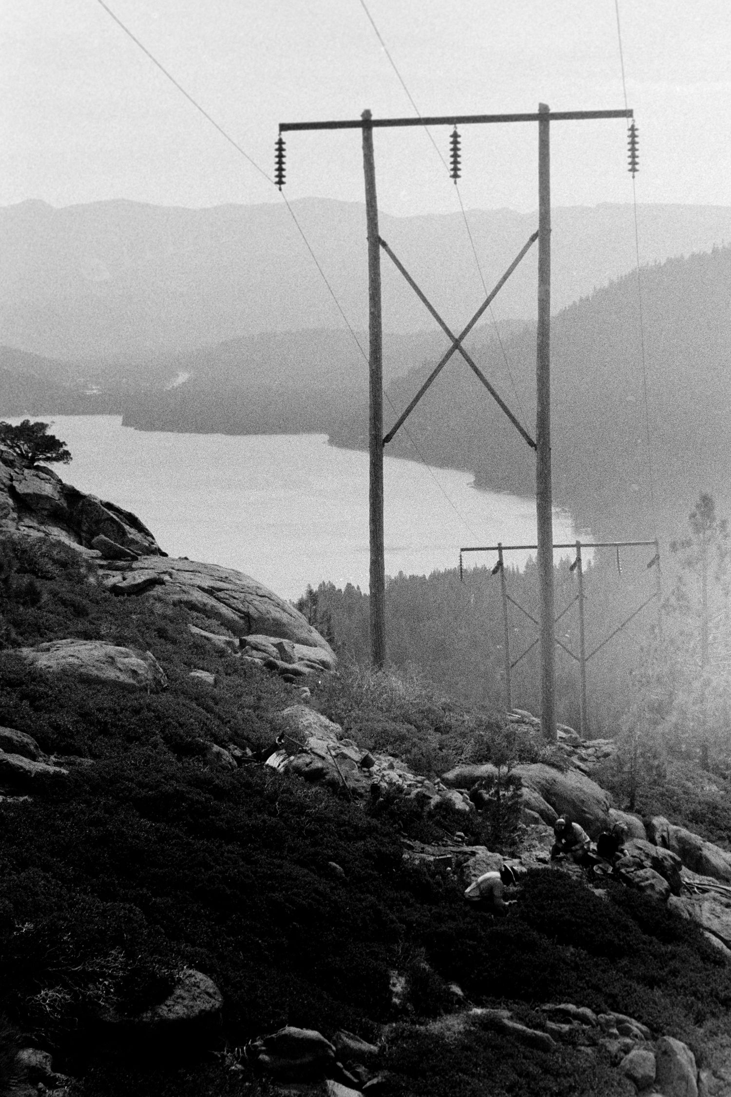
The drive over Donner Pass Road is one of my favorite drives in the area. You can get off Interstate 80 at Soda Springs and follow the older road east over the summit. It winds through carved granite, passes the old railroad grade and tunnels, crosses Rainbow Bridge, and then begins dropping toward Donner Lake before eventually reconnecting with the interstate.
In places, different generations of transportation seem stacked on top of one another. The old railroad infrastructure sits higher on the mountainside. The twentieth-century road curves beneath it. Interstate 80 is nearby. The technology changed. The mountain did not.
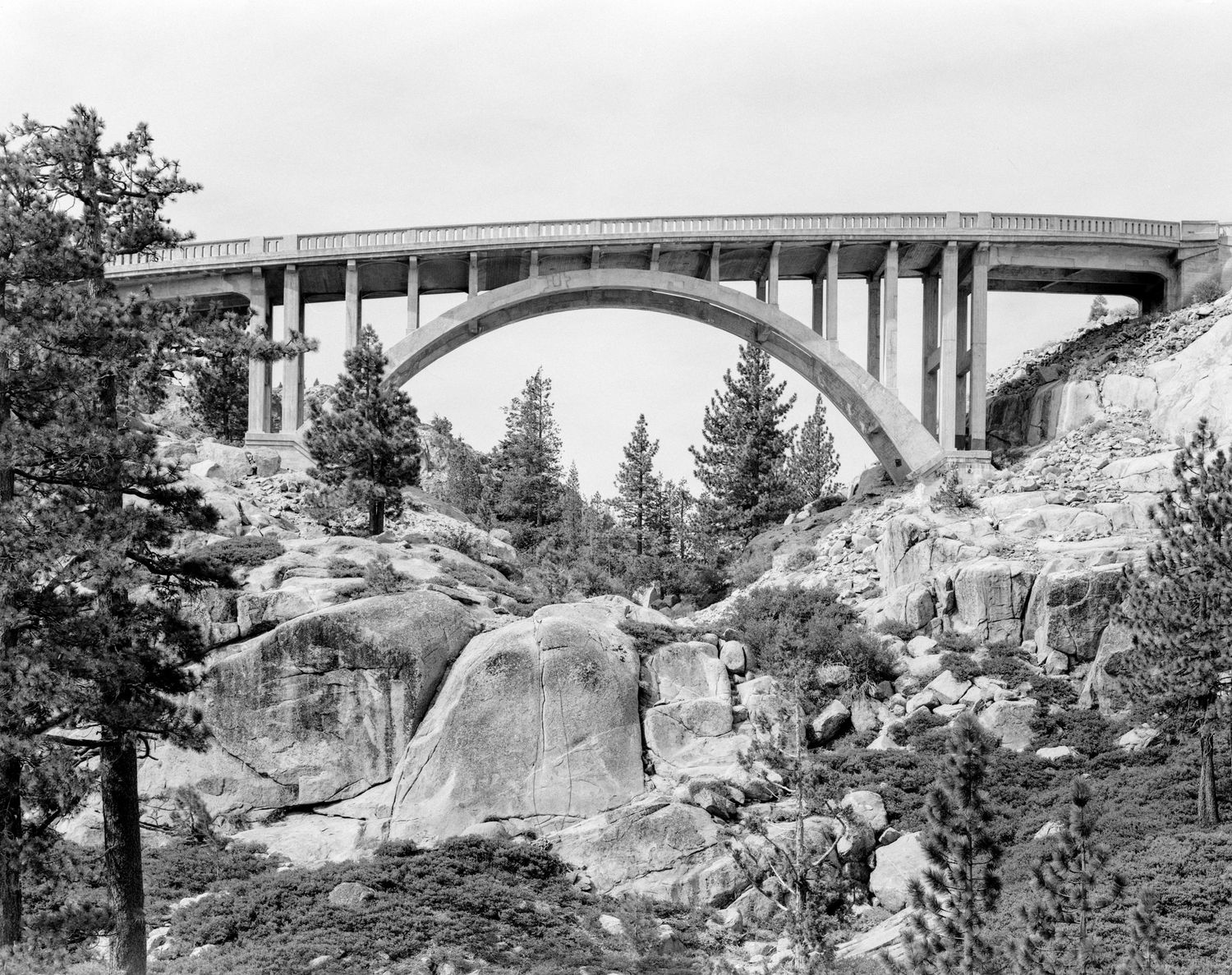
That is especially clear at Rainbow Bridge. Before the bridge was built, the old Lincoln Highway descended Donner Summit on grades reportedly reaching 18 percent. As automobiles and trucks became increasingly important during the 1920s, those grades became a real transportation problem.
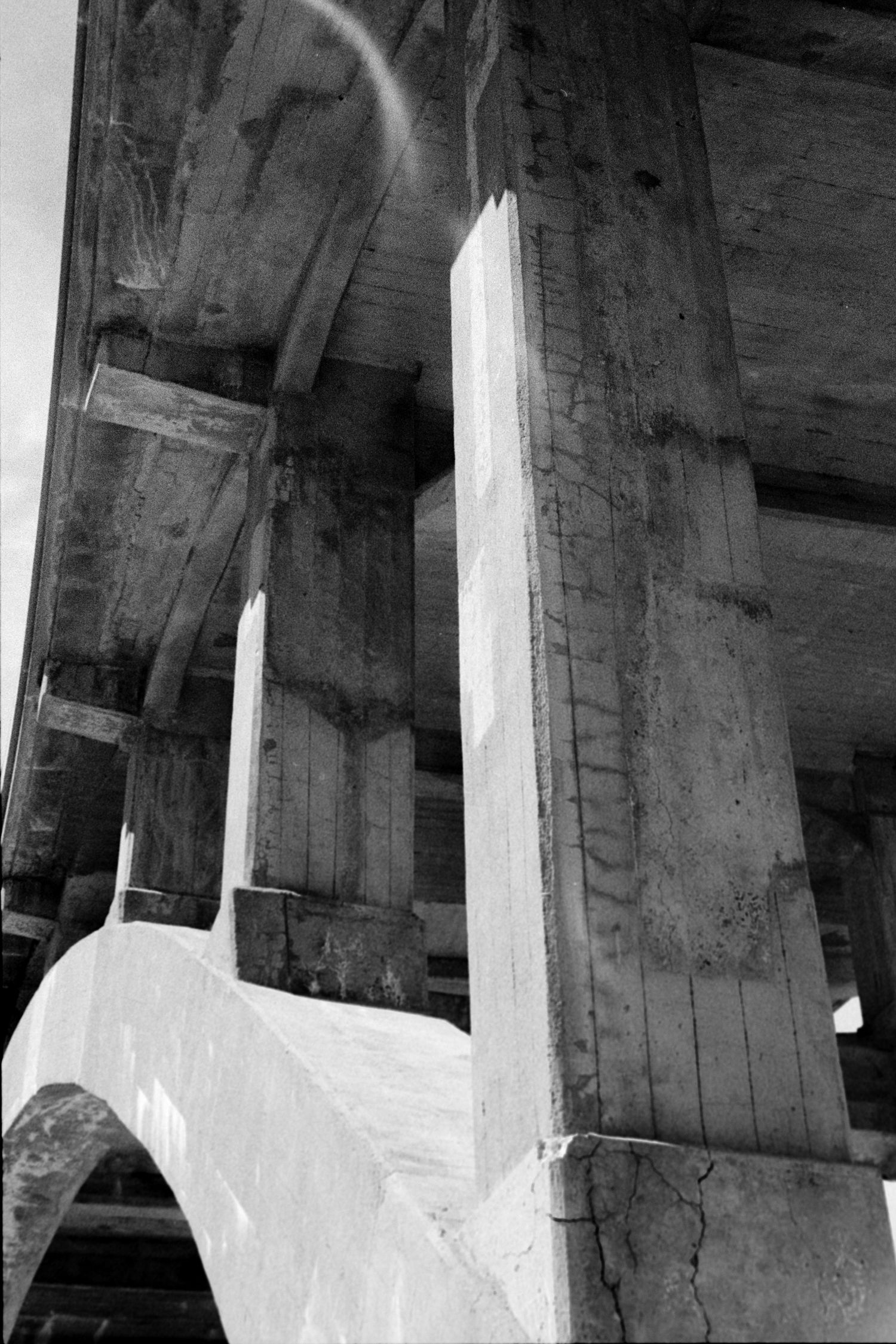
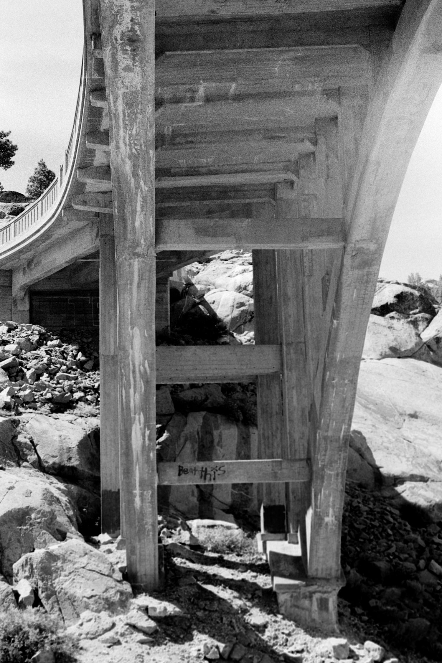
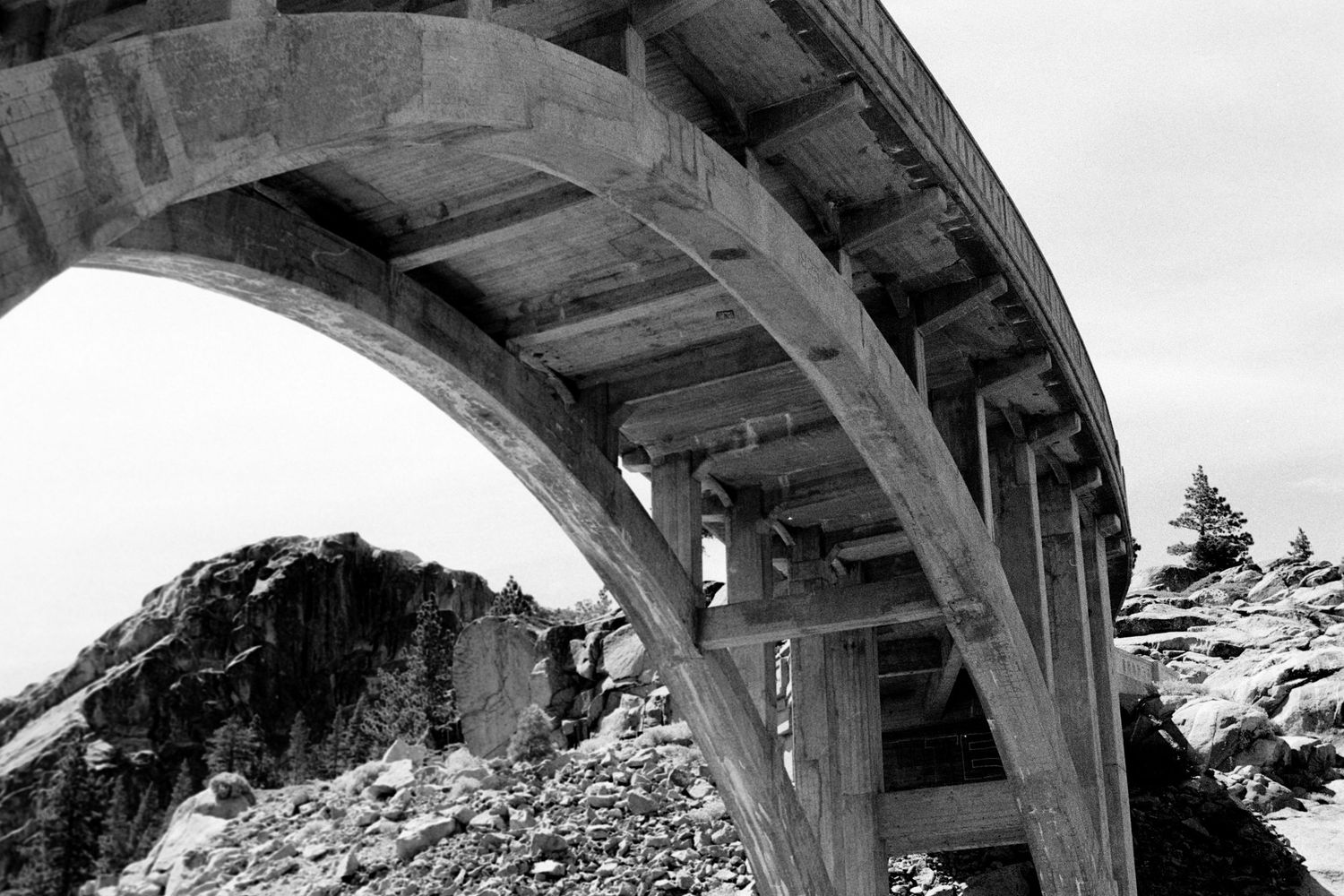
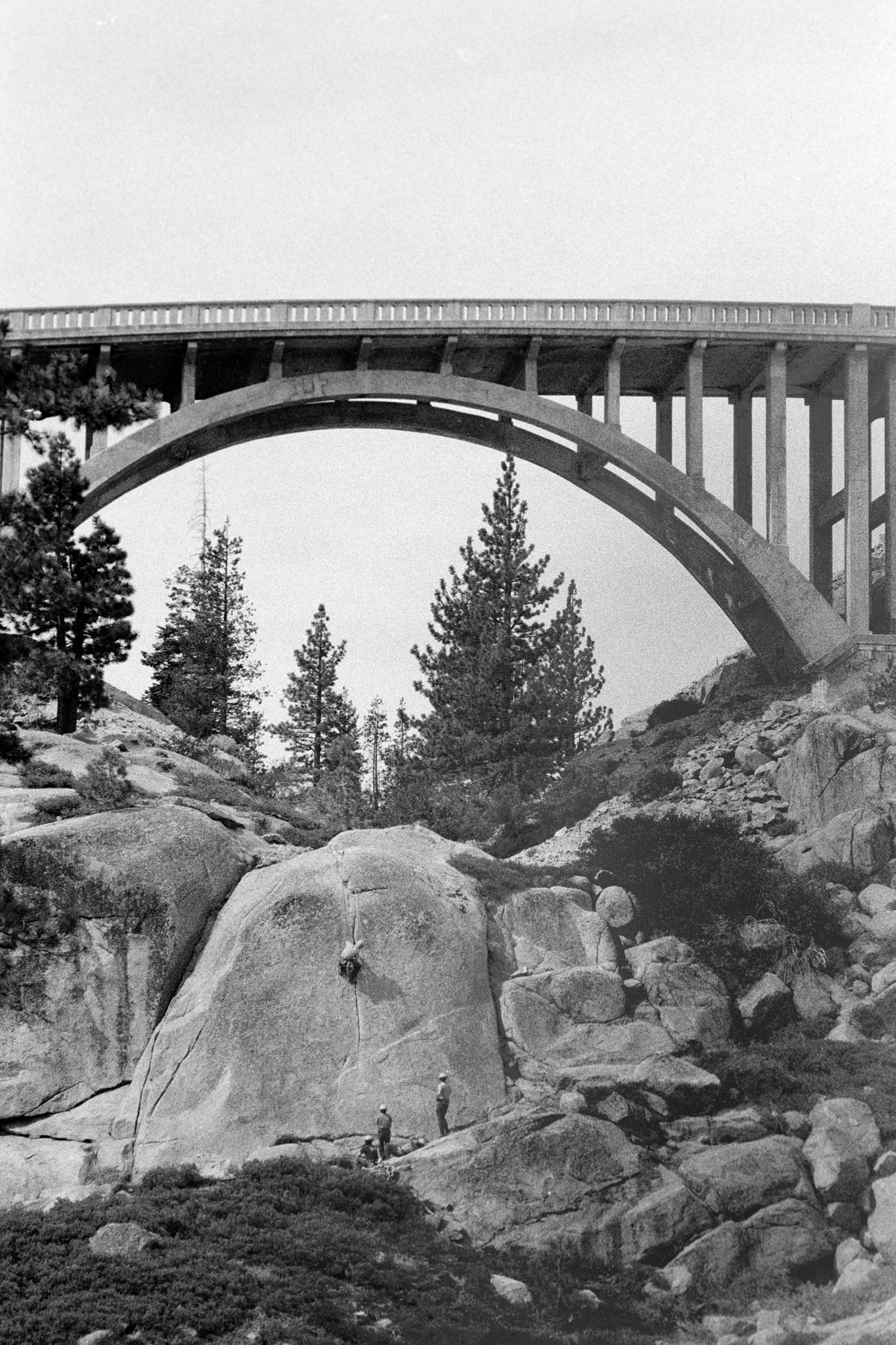
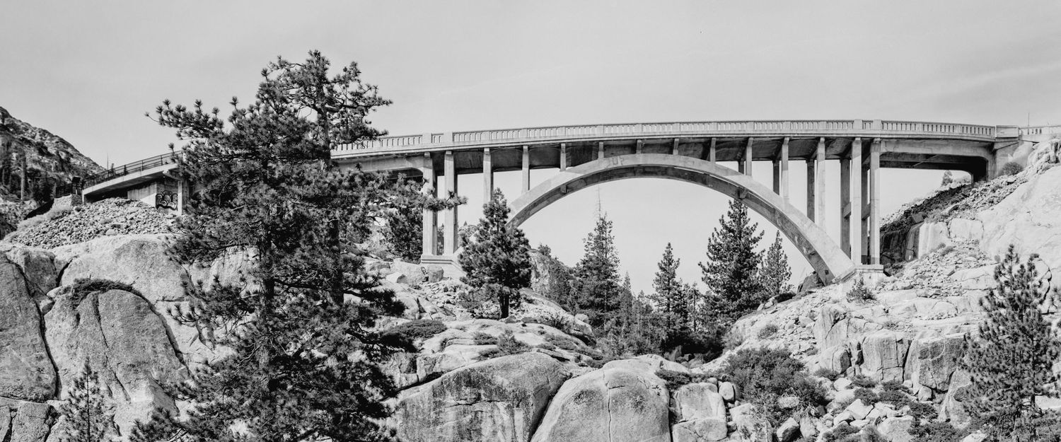
Beginning in 1923, work started on a more modern route. The final section across the summit included the bridge, which was completed in 1926. Its design was unusual: a concrete arch built not only on a curve but also on a grade. Even the material used to make its concrete was tied directly to the landscape; sand and gravel were taken from Donner Lake below and hauled toward the construction site.
I photographed the bridge twice. I worked from above, below and both sides, using the Nikon, the 4×5 and the 6×17 panoramic back. The wide photograph became my favorite because the format lets the bridge and the surrounding terrain share the frame. Neither dominates completely, and the bridge fits neatly into the landscape. The engineering makes sense only because the landscape makes the engineering necessary.
While I was there, crews were patching small potholes in the roadway. There was nothing dramatic about it. They were simply maintaining an old bridge. But I liked seeing that. A hundred years after engineers found a better way to carry automobiles across Donner Summit, the solution to that problem still warrants and gets the meticulous attention it deserves.
The People Who Cut Through the Sierra
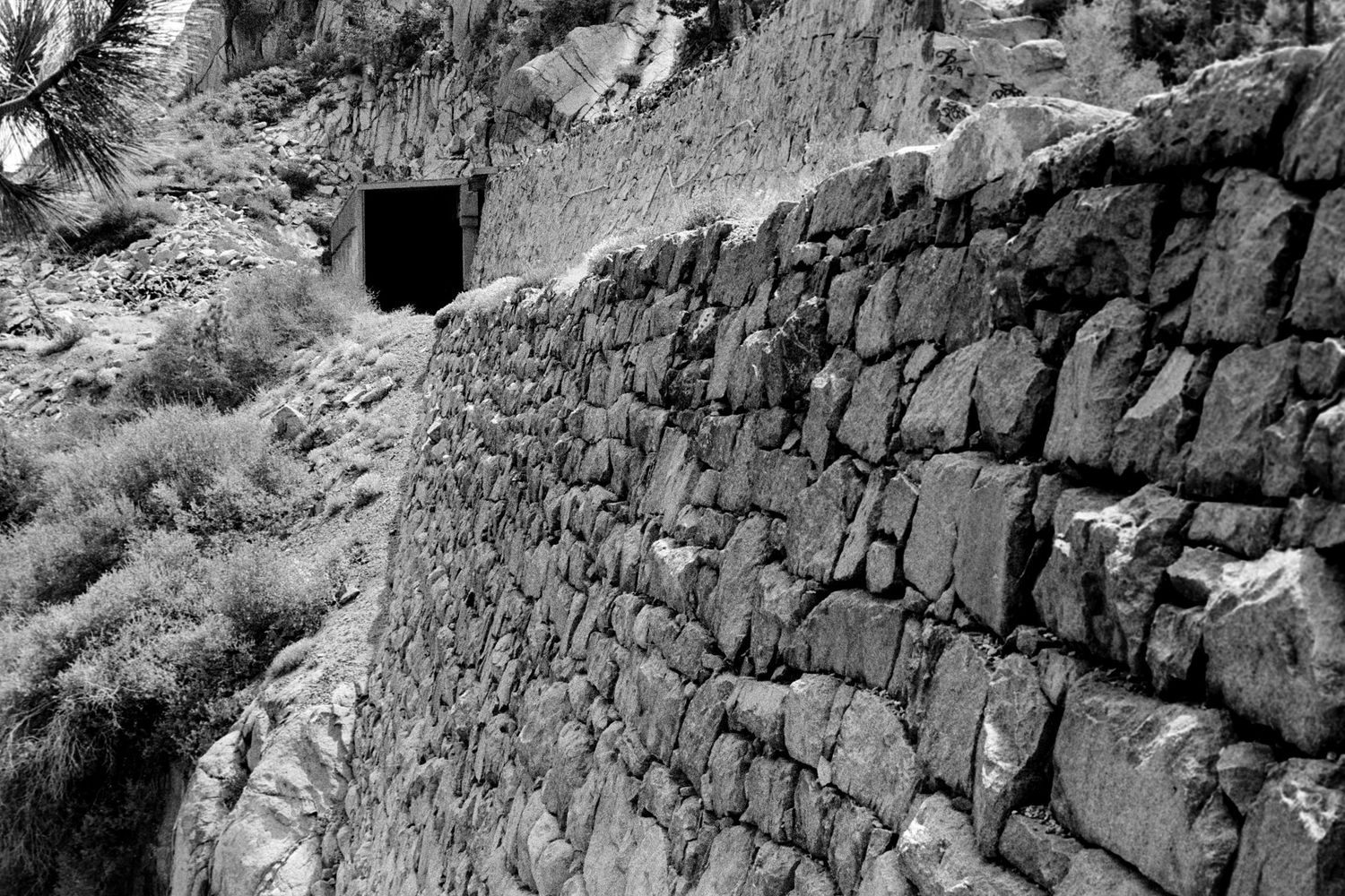
From Rainbow Bridge, the abandoned railroad grade is not far away. Neither is China Wall. The wall rises roughly 75 feet and was built without mortar from stone and debris excavated during railroad construction. Chinese workers placed the stones by hand to create the retaining structure supporting the rail bed above—yet another testament to the value of our country’s immigrant heritage. The scale and magnitude of their backbreaking work is difficult to appreciate until you stand below it.
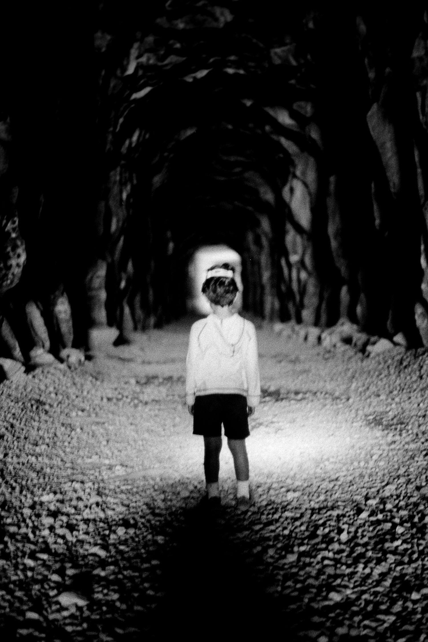
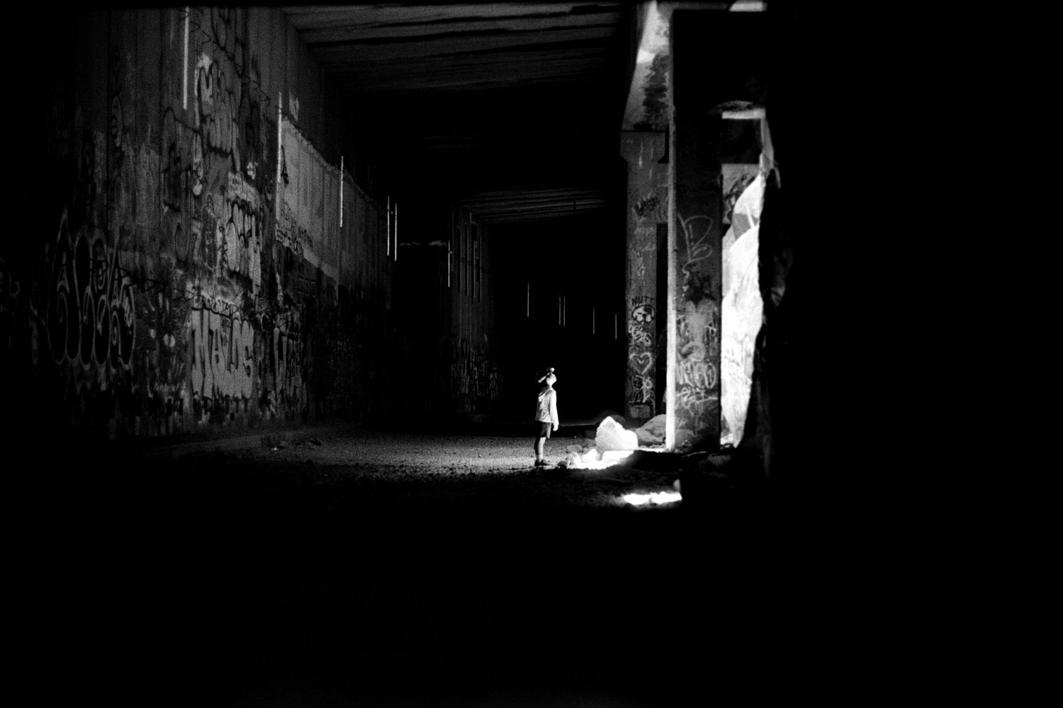
Then there are the tunnels. From 1865 to 1867, workers constructed a series of tunnels through the Sierra Nevada for the Central Pacific Railroad. Chinese laborers constituted the overwhelming majority of the company’s workforce and did much of the extraordinarily difficult work at Donner Summit. One of the major tunnels runs more than 1,600 feet through the granite. Progress came by inches, first with gunpowder and later with dangerous early forms of nitroglycerin.
The history deserves more than a generic observation about "pioneer grit." The people doing much of this work were Chinese immigrants, and their contribution was followed by a particularly ugly period in Truckee's history. Truckee developed a substantial Chinese community connected to the railroad and related industries, but anti-Chinese hostility intensified over the years. The Truckee-Donner Historical Society documents repeated violence and, eventually, an organized boycott in 1886 that drove Chinese residents from the community—also a testament to our country’s dark and regrettably ignorant nature.
Standing inside the tunnel, I thought about the people who had built it. I wondered what they thought when they looked across the great expanse of those mountains over Donner Lake; whether they ever had time to enjoy the place they were working in; what winter felt like up there when the snow accumulated by the foot; what it meant to spend day after day drilling into that granite. I don’t know the answers to those questions, nor do I want to pretend that I do.
What remains now is the physical evidence of their work: tunnels through the mountain, a hand-built stone wall beneath the old railroad bed and a route that helped connect California with the rest of the country. When I look at the images of the tunnels and the wall, I truly appreciate the human effort that brought them into existence—and I hope you do too.
When the Obstacle Becomes the Attraction
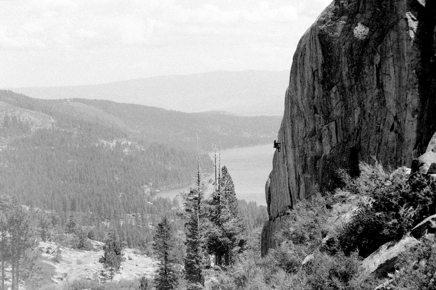
There was another thing I began noticing around Donner Pass. People were climbing it. Near the bridge I photographed a climber high on a granite wall above Donner Lake. Elsewhere people were hiking, biking and exploring the old railroad grade. In winter, the same mountains fill with skiers and snowboarders.
It occurred to me that the landscape people once struggled so hard in and died trying to get through is now one of the principal reasons people come. The granite did not become easier. Our relationship with it changed. Truckee’s modern recreation economy is built around precisely the things that historically made travel and settlement difficult: mountains, snow, cold water, steep terrain and long winters. That contrast became one of my favorite thoughts from the trip. The Sierra has never been conquered. People just kept finding new ways to live in it.
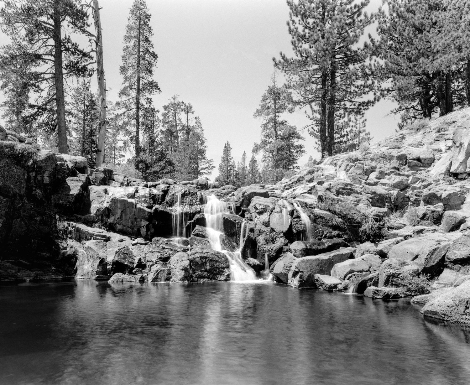
Webber Falls
Not everything I photographed needed to fit neatly into the railroad story. I had been researching waterfalls in the area and found Webber Falls north of Truckee. Getting there took me away from downtown and out along increasingly smaller roads until I was in a forested valley near the Little Truckee River system.
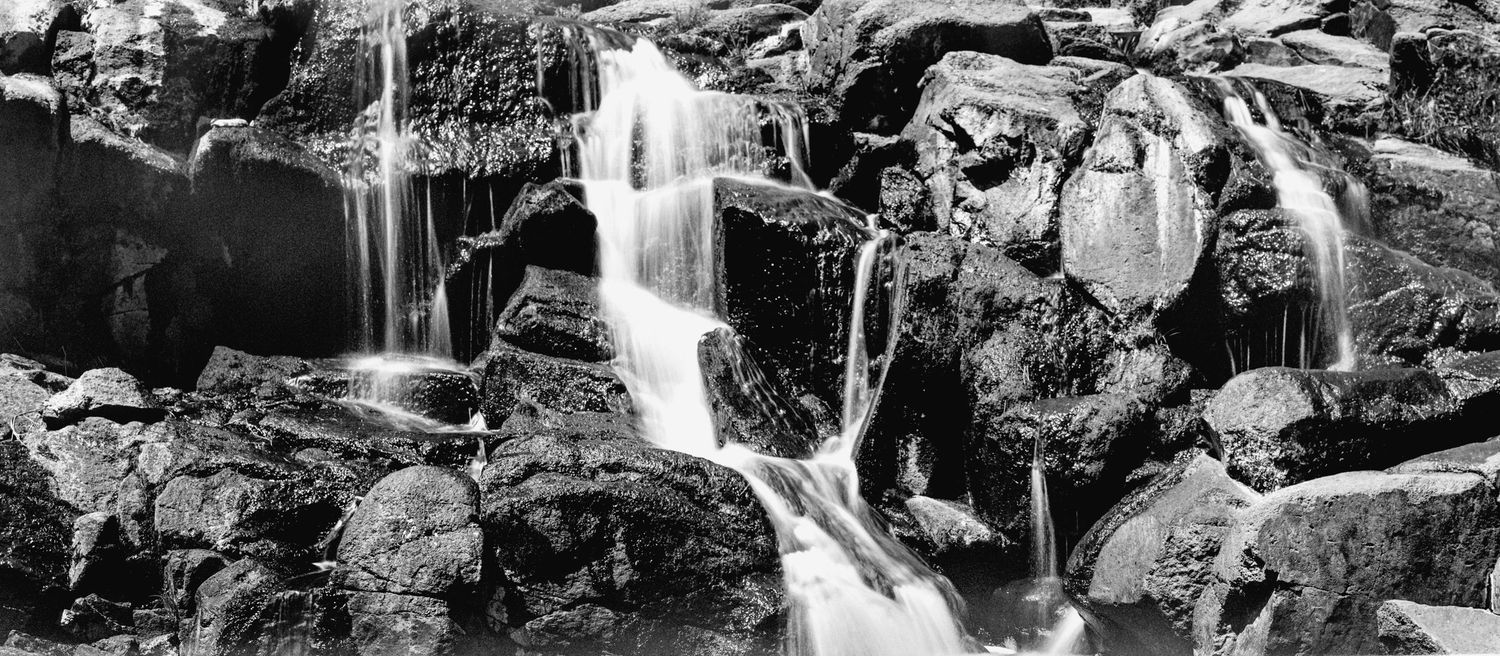
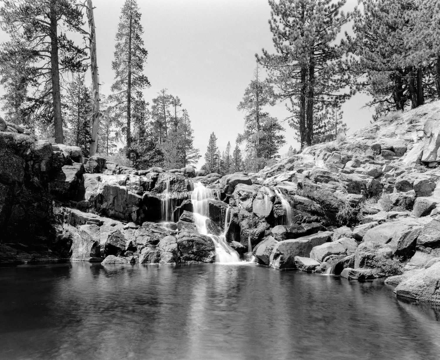
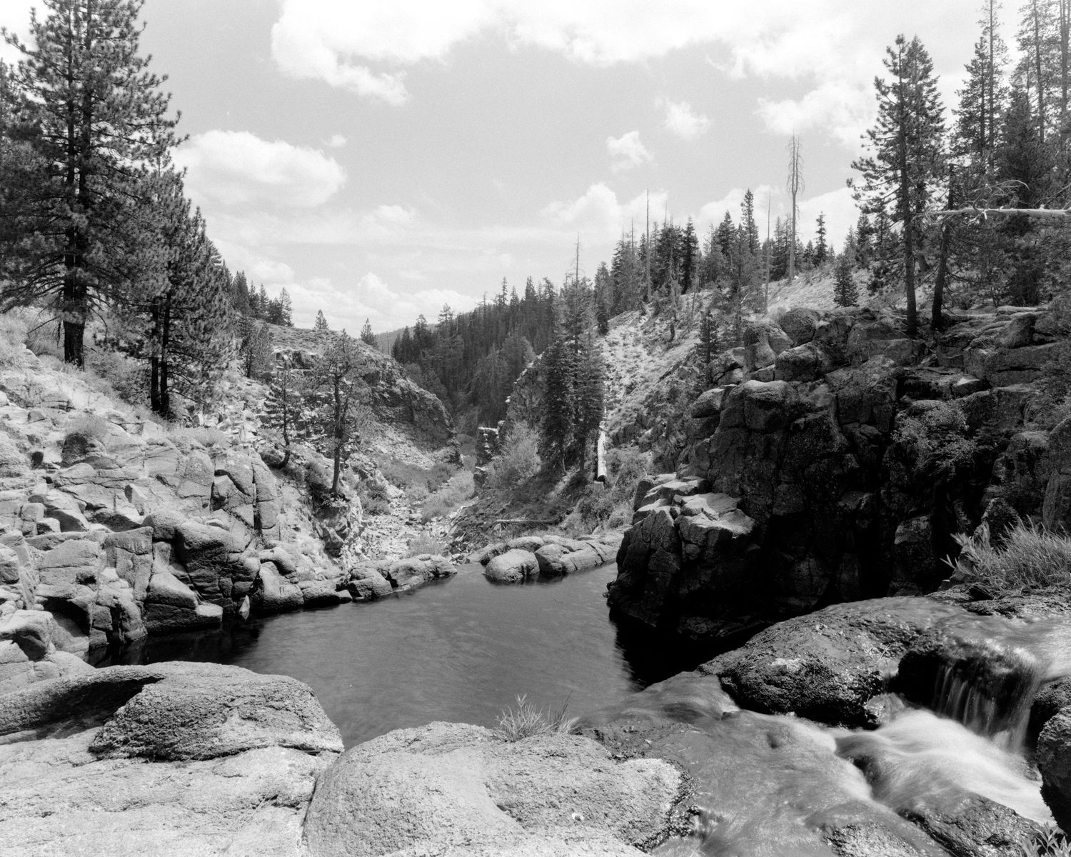
What surprised me most was the water. Late in the summer, the source feeding the falls did not look particularly impressive. Then it reached the rock. At the top, water spills across a series of smaller cascades into a dark pool surrounded by granite. From there, it exits through a narrow opening and drops into the canyon below.
Historically, the falls formed a natural barrier between Webber Lake and the Little Truckee River system. Dr. David G. Webber, for whom the area is named, developed a hotel at Webber Lake in 1860 along the Henness Pass stage and freight route. He later stocked the otherwise fishless lake with trout and made it a recreation destination.
I had looked at Webber Lake during my research and no doubt it deserves some camera time. But, on this trip I was more interested in the water and those rocks over which it flowed. On my first visit to the falls, I had the place to myself. That is a good situation when working with a large-format camera. Nobody was waiting for me to move a tripod. Nobody cared that I spent an unreasonable amount of time under a dark cloth. I was free to take the time I needed to get the shots I wanted. I used longer exposures to let the water move while keeping the surrounding granite hard and defined.
Following the River East
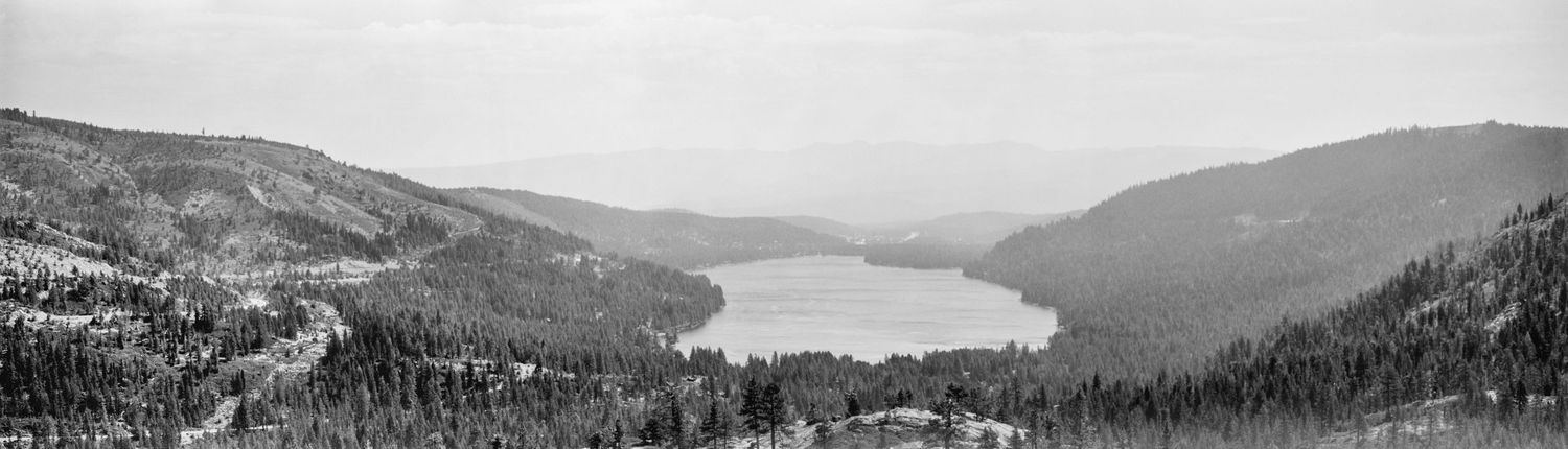
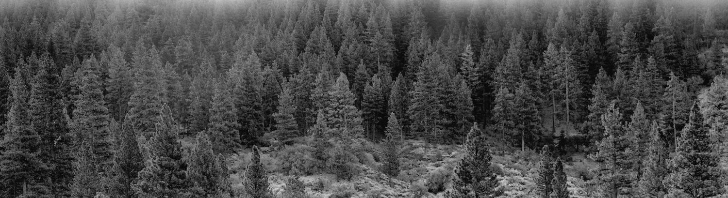
The Truckee River gave me one more photograph; though it did not turn out exactly they the way I imagined it. On our last morning in Truckee, I followed the river east toward Reno before sunrise with a specific composition in mind: repeating treetops catching the first light as it moved down the mountainside, the forest resolving into pattern more than individual trees. That exact framing escaped me, but I did make a panorama that I enjoy. More importantly though, the photo became something more than what I had gone looking for.
Despite not being able to scratch that exact creative itch I had, what stayed with me most that morning was the forest and the haze. At the point I was standing there looking out at those trees, the Bug Fire had been burning in Nevada, and the Stallion Fire had begun shortly thereafter. Together these two fires would eventually burn well over 100,000 acres of forest. I could not look at those trees purely as beautiful scenery, and the haze was a steady reminder that it was possible my photograph would be the only proof these trees were ever there. Looking at those trees through the haze certainly brought a more solemn meaning to the panorama than I initially imagined. The forest density was part of what made this landscape beautiful, but the same landscape also showed its vulnerability. Now when I look at that frame, I see both the beauty and vulnerability at once.
Work Left Undone
I left Truckee with photographs I enjoy. There are several still I have not yet made. Somewhere farther along the Truckee River is a steel-framed bridge and what looked to me like the remains of an old mill. It was on my list. I never got there. I have also never photographed Donner Summit in winter.
This may be what I like most about this place. A photograph made there in August is not the same photograph in January. The bridge changes under snow. The river changes with runoff. The falls change with water levels. The forest changes with weather, fire, light and season. Even the compositions I already found do not feel fully explored.
Truckee was supposed to be just a nice place we stayed while the boys went to camp. Instead, I spent the week following railroad tracks into the mountains, standing beneath a century-old bridge, walking through tunnels cut into granite by hardworking immigrants, watching morning light move across a forest, and learning how a town ended up where it did. There is still more to the story up there. I’ll be back.
If You Go
Truckee works well as a base because downtown, Donner Lake, Donner Pass and a surprising amount of outdoor recreation are close together, while Reno and Lake Tahoe are within easy reach along a large, accessible highway.
The food in Truckee is good, and you should not feel constrained by your options. We ate around town throughout the week. Zuri Cafe and Wild Cherries Coffee House became reliable breakfast stops. We also tried Old Town Tap, MASA Kitchen, Full Belly Deli, Buoy & Trap, and Alibi Ale Works. MASA was easy and family-friendly, with things like empanadas, cauliflower cakes and sourdough pizza. Old Town Tap and Alibil Ale had standard gastropub fare and good alcoholic (and non-alcoholic) selections. There’s also small ice cream shop in a trailer at the west end of Commercial Row that is absolutely worth your time. Full Belly Deli has great sandwiches to take with you into the wilderness.
Mountain bikes are a must in the summer with numerous mountain biking trails and parks around. If you're into skating, the local Truckee skate park is a lot of fun. Fly fishing the Truckee River is very popular, and accessing the river is easy. You also have untold numbers of hiking trails, Donner Lake, Lake Tahoe, and the rivers available for swimming. Another worthwhile adventure in the summer is taking a float on the Truckee River with Truckee River Rafting Company. The company handled our logistics, which made it an easy way for us to spend a few hours on the river without turning the day into an Everest-like expedition (which certain outings with kids can become at times).
Winter brings skiing, cross country skiing, backcountry ski and snowboarding, snowmobiling, snowshoeing, pretty much every outdoor winter snow sport in existence. Just come prepared, because this place gets feet-upon-feet of snow.
Anyone interested in the historic Donner railroad tunnels should do more homework than simply following social media directions. The tunnel structures themselves remain railroad property, while surrounding lands involve a mix of other ownership and management. They are widely explored and frequently visited, but current access conditions should be checked before going. The site is also historically important and increasingly affected by graffiti, litter and heavy visitation. I perhaps am now part of the problem by talking about them here, but I did my best to only leave footprints and, hopefully, convey something about them that is more than just "some cool tunnels." If you go, truly appreciate the human effort involved in making those tunnels, leave no trace, take only photos with you, and be respectful.